
Low altitude provides higher resolution and detail presentation, suitable for high-precision requirements and advanced analysis applications

High altitude, taking into account both efficiency and quality, suitable for large-area rapid surveying and general investigation
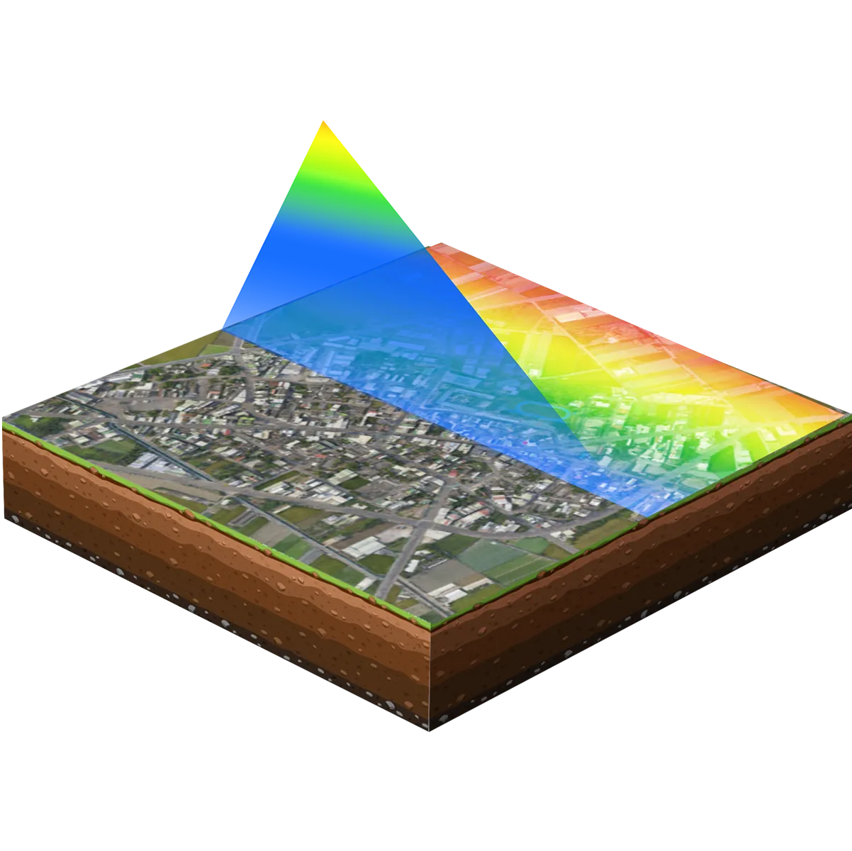
Precise scanning of point clouds for flight solutions

Topographic mapping, cadastral survey, earthwork calculation, river channel geomorphology analysis

Pre-development land survey, hillside topographic survey, historical site exploration

Tree growth monitoring, ecological survey, carbon emission calculation, forest management and planning

Set parameters according to your needs
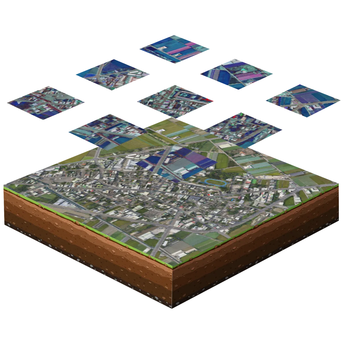
LiGeoreference pre-processing software performs point cloud solution to obtain high-precision color point cloud
Precise Modeling of flight solutions for digital students of point clouds for flight solutions

Low aerial, see clearer details, suitable for applications requiring high precision and advanced analysis.

High attitude flight, taking into account both efficiency and quality, is particularly suitable for applications that require rapid completion of large-area modeling.
Your Best Partner in Data Collection-Dragonfly UAS


 中文
中文